Meadowside
Introduction
The photograph on this page of Meadowside by Simon Carey as part of the Geograph project.
The Geograph project started in 2005 with the aim of publishing, organising and preserving representative images for every square kilometre of Great Britain, Ireland and the Isle of Man.

There are currently over 7.5m images from over 14,400 individuals and you can help contribute to the project by visiting https://www.geograph.org.uk
Meadowside
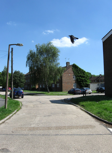
Image: © Simon Carey Taken: 30 May 2009
Housing estate to the south of Storrington's High Street. A low flying crow has decided to be a part of the picture.
Images are licensed for reuse under creativecommons.org/licenses/by-sa/2.0
Image Location
Latitude
50.916837
Longitude
-0.453614