Orchard House
Introduction
The photograph on this page of Orchard House by Simon Carey as part of the Geograph project.
The Geograph project started in 2005 with the aim of publishing, organising and preserving representative images for every square kilometre of Great Britain, Ireland and the Isle of Man.

There are currently over 7.5m images from over 14,400 individuals and you can help contribute to the project by visiting https://www.geograph.org.uk
Orchard House
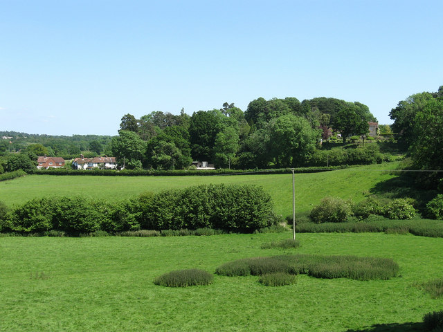
Image: © Simon Carey Taken: 30 May 2009
The house is the partially visible one to the right of the picture whilst to the left are cottages located at the entrance to that house in Greyfriars Lane. Viewed from the footpath that links Coldharbour to Kithurst Lane.
Images are licensed for reuse under creativecommons.org/licenses/by-sa/2.0
Image Location
Latitude
50.909086
Longitude
-0.459134