Patching Pond
Introduction
The photograph on this page of Patching Pond by Simon Carey as part of the Geograph project.
The Geograph project started in 2005 with the aim of publishing, organising and preserving representative images for every square kilometre of Great Britain, Ireland and the Isle of Man.

There are currently over 7.5m images from over 14,400 individuals and you can help contribute to the project by visiting https://www.geograph.org.uk
Patching Pond
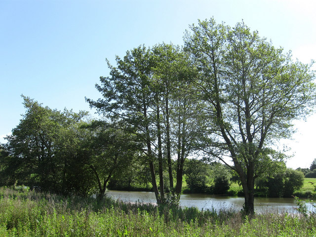
Image: © Simon Carey Taken: 30 May 2009
Feeding a tributary of the River Arun near the start of the South Downs. The pond is quite ancient having once been owned by nearby Michelgrove House. Today it is a private angling pond.
Images are licensed for reuse under creativecommons.org/licenses/by-sa/2.0
Image Location
Latitude
50.840509
Longitude
-0.455429