St Albans: The Abbey Flyer line
Introduction
The photograph on this page of St Albans: The Abbey Flyer line by Nigel Cox as part of the Geograph project.
The Geograph project started in 2005 with the aim of publishing, organising and preserving representative images for every square kilometre of Great Britain, Ireland and the Isle of Man.

There are currently over 7.5m images from over 14,400 individuals and you can help contribute to the project by visiting https://www.geograph.org.uk
St Albans: The Abbey Flyer line
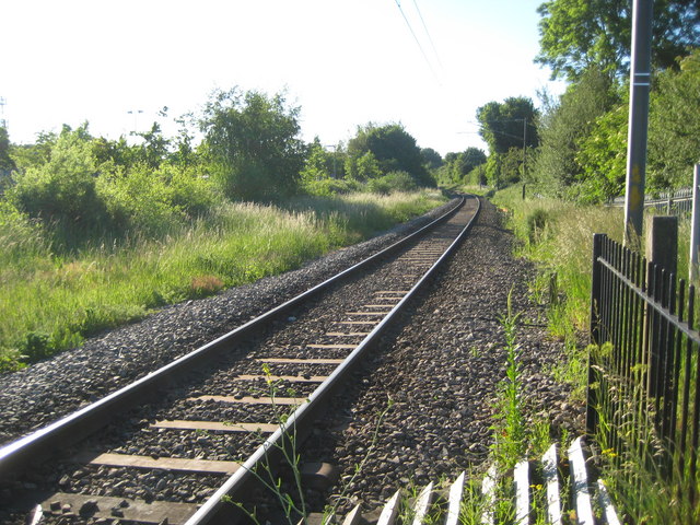
Image: © Nigel Cox Taken: 29 May 2009
Looking towards Image it was about a 100 metres away in the distance that the former Great Northern Railway's line to Hatfield peeled off to the right. That line closed in 1964.
Images are licensed for reuse under creativecommons.org/licenses/by-sa/2.0
Image Location
Latitude
51.741841
Longitude
-0.337837