Bevendean Avenue
Introduction
The photograph on this page of Bevendean Avenue by Paul Gillett as part of the Geograph project.
The Geograph project started in 2005 with the aim of publishing, organising and preserving representative images for every square kilometre of Great Britain, Ireland and the Isle of Man.

There are currently over 7.5m images from over 14,400 individuals and you can help contribute to the project by visiting https://www.geograph.org.uk
Bevendean Avenue
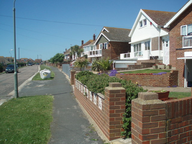
Image: © Paul Gillett Taken: 30 May 2009
The Avenue is one of the roads through Saltdean crossing the boundary between Brighton & Hove City Council and East Sussex Council at the Junction with Longridge Avenue. The Eastern end of the avenue is at the edge of Telscombe Tye
Images are licensed for reuse under creativecommons.org/licenses/by-sa/2.0
Image Location
Latitude
50.80334
Longitude
-0.029753