Wall, Avington
Introduction
The photograph on this page of Wall, Avington by Maigheach-gheal as part of the Geograph project.
The Geograph project started in 2005 with the aim of publishing, organising and preserving representative images for every square kilometre of Great Britain, Ireland and the Isle of Man.

There are currently over 7.5m images from over 14,400 individuals and you can help contribute to the project by visiting https://www.geograph.org.uk
Wall, Avington
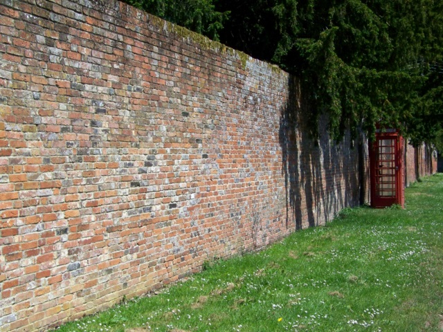
Image: © Maigheach-gheal Taken: 30 May 2009
Early 18th century boundary wall to Avington House with a K6 type telephone box standing against it.
Images are licensed for reuse under creativecommons.org/licenses/by-sa/2.0
Image Location
Latitude
51.093196
Longitude
-1.237996