Houses at the end of Government Row
Introduction
The photograph on this page of Houses at the end of Government Row by Stephen Craven as part of the Geograph project.
The Geograph project started in 2005 with the aim of publishing, organising and preserving representative images for every square kilometre of Great Britain, Ireland and the Isle of Man.

There are currently over 7.5m images from over 14,400 individuals and you can help contribute to the project by visiting https://www.geograph.org.uk
Houses at the end of Government Row
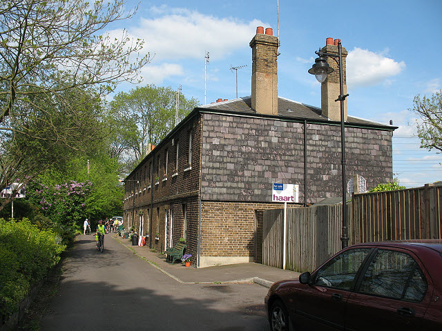
Image: © Stephen Craven Taken: 2 May 2009
This terrace is the northernmost building on Enfield Island. The road comes to a dead end just beyond them, where the channels of the River Lea diverge.
Images are licensed for reuse under creativecommons.org/licenses/by-sa/2.0
Image Location
Latitude
51.673249
Longitude
-0.014648