Ordnance Road bridge, Enfield
Introduction
The photograph on this page of Ordnance Road bridge, Enfield by Stephen Craven as part of the Geograph project.
The Geograph project started in 2005 with the aim of publishing, organising and preserving representative images for every square kilometre of Great Britain, Ireland and the Isle of Man.

There are currently over 7.5m images from over 14,400 individuals and you can help contribute to the project by visiting https://www.geograph.org.uk
Ordnance Road bridge, Enfield
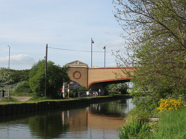
Image: © Stephen Craven Taken: 2 May 2009
The bridge is a modern one, giving access over the Lea Navigation to an early 21st century housing estate (Enfield Island Village). The road name, like many in the area, has a military reference to the area's history - see http://en.wikipedia.org/wiki/Enfield_Island_Village
Images are licensed for reuse under creativecommons.org/licenses/by-sa/2.0
Image Location
Latitude
51.67069
Longitude
-0.017508