Bridge below Enfield Lock
Introduction
The photograph on this page of Bridge below Enfield Lock by Stephen Craven as part of the Geograph project.
The Geograph project started in 2005 with the aim of publishing, organising and preserving representative images for every square kilometre of Great Britain, Ireland and the Isle of Man.

There are currently over 7.5m images from over 14,400 individuals and you can help contribute to the project by visiting https://www.geograph.org.uk
Bridge below Enfield Lock
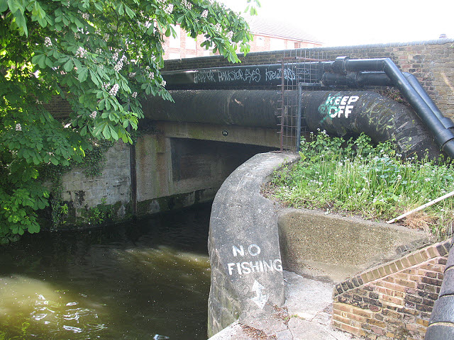
Image: © Stephen Craven Taken: 2 May 2009
This would at one time have been the only canal crossing giving access to what is now Enfield Island Village. There is a newer bridge further north now Image but this one still carries the utility services.
Images are licensed for reuse under creativecommons.org/licenses/by-sa/2.0
Image Location
Latitude
51.666926
Longitude
-0.018251