Oxford - end of the Canal
Introduction
The photograph on this page of Oxford - end of the Canal by Peter Trimming as part of the Geograph project.
The Geograph project started in 2005 with the aim of publishing, organising and preserving representative images for every square kilometre of Great Britain, Ireland and the Isle of Man.

There are currently over 7.5m images from over 14,400 individuals and you can help contribute to the project by visiting https://www.geograph.org.uk
Oxford - end of the Canal
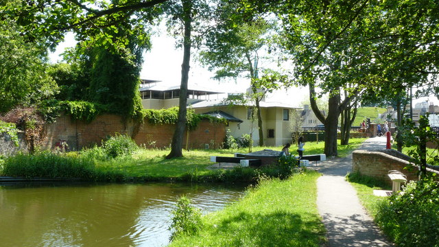
Image: © Peter Trimming Taken: 30 May 2009
Near to the centre of Oxford, this is the limit of navigation; a spur just beyond Isis Lock. Moorings commence about 100 yards back from this location.
Images are licensed for reuse under creativecommons.org/licenses/by-sa/2.0
Image Location
Latitude
51.754176
Longitude
-1.265608