Clwydian Way Ascending Bryn Alyn
Introduction
The photograph on this page of Clwydian Way Ascending Bryn Alyn by David Quinn as part of the Geograph project.
The Geograph project started in 2005 with the aim of publishing, organising and preserving representative images for every square kilometre of Great Britain, Ireland and the Isle of Man.

There are currently over 7.5m images from over 14,400 individuals and you can help contribute to the project by visiting https://www.geograph.org.uk
Clwydian Way Ascending Bryn Alyn
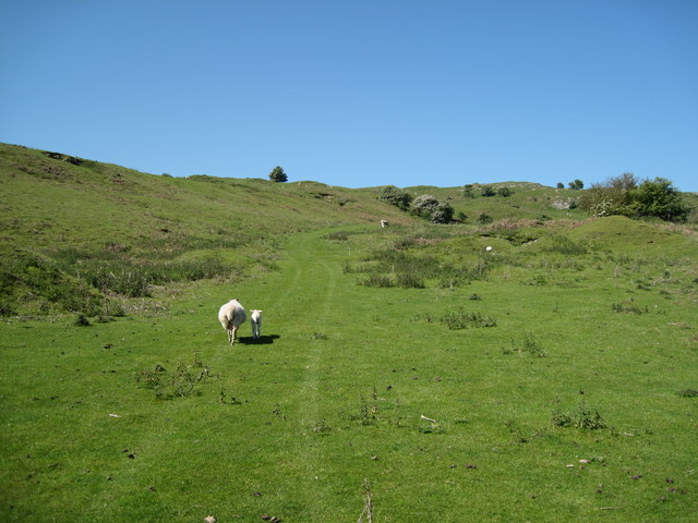
Image: © David Quinn Taken: 30 May 2009
The path follows a track up to the top of Bryn Alyn.
Images are licensed for reuse under creativecommons.org/licenses/by-sa/2.0
Image Location
Latitude
53.125271
Longitude
-3.190098