Glan-y-gors Farm, Farmland and Moel Findeg
Introduction
The photograph on this page of Glan-y-gors Farm, Farmland and Moel Findeg by David Quinn as part of the Geograph project.
The Geograph project started in 2005 with the aim of publishing, organising and preserving representative images for every square kilometre of Great Britain, Ireland and the Isle of Man.

There are currently over 7.5m images from over 14,400 individuals and you can help contribute to the project by visiting https://www.geograph.org.uk
Glan-y-gors Farm, Farmland and Moel Findeg
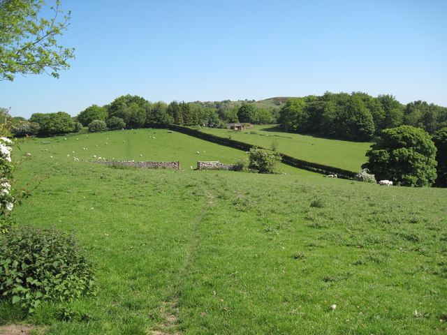
Image: © David Quinn Taken: 30 May 2009
View of the farmland near Maeshafn. This field does not have a right of way through it and the picture was taken from the Clwydian Way. For more information on Moel Findeg please visit http://www.moelfindeg.co.uk/index.html
Images are licensed for reuse under creativecommons.org/licenses/by-sa/2.0
Image Location
Latitude
53.135355
Longitude
-3.188583