Farmland south of Maeshafn
Introduction
The photograph on this page of Farmland south of Maeshafn by David Quinn as part of the Geograph project.
The Geograph project started in 2005 with the aim of publishing, organising and preserving representative images for every square kilometre of Great Britain, Ireland and the Isle of Man.

There are currently over 7.5m images from over 14,400 individuals and you can help contribute to the project by visiting https://www.geograph.org.uk
Farmland south of Maeshafn
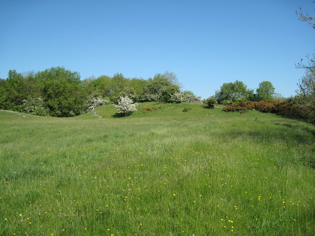
Image: © David Quinn Taken: 30 May 2009
An undulating and rocky field which I presume would be only used for sheep.
Images are licensed for reuse under creativecommons.org/licenses/by-sa/2.0
Image Location
Latitude
53.138196
Longitude
-3.192099