A66 and Track to Light Trees
Introduction
The photograph on this page of A66 and Track to Light Trees by Bob Jenkins as part of the Geograph project.
The Geograph project started in 2005 with the aim of publishing, organising and preserving representative images for every square kilometre of Great Britain, Ireland and the Isle of Man.

There are currently over 7.5m images from over 14,400 individuals and you can help contribute to the project by visiting https://www.geograph.org.uk
A66 and Track to Light Trees
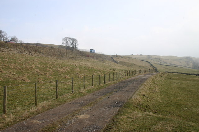
Image: © Bob Jenkins Taken: 3 Mar 2006
The infamous "A66 at Stainmore", prone to closure from high winds and snow, runs above the track to the farm.
Images are licensed for reuse under creativecommons.org/licenses/by-sa/2.0
Image Location
Latitude
54.527333
Longitude
-2.24564