Wisewood Methodist Church
Introduction
The photograph on this page of Wisewood Methodist Church by Roger May as part of the Geograph project.
The Geograph project started in 2005 with the aim of publishing, organising and preserving representative images for every square kilometre of Great Britain, Ireland and the Isle of Man.

There are currently over 7.5m images from over 14,400 individuals and you can help contribute to the project by visiting https://www.geograph.org.uk
Wisewood Methodist Church
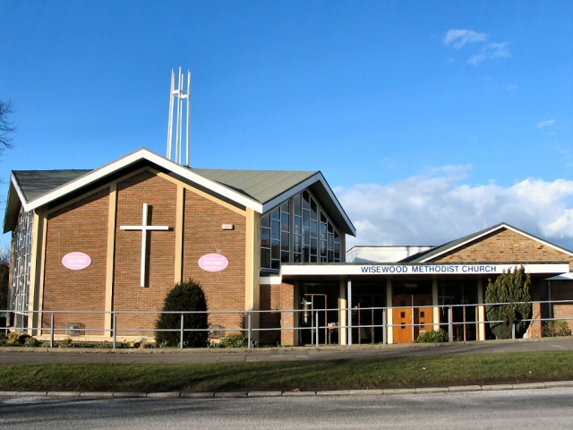
Image: © Roger May Taken: 5 Mar 2006
The 1940's O/S map shows a church, or chapel, on this spot opposite the underground reservoir at Hallowmoor. This building seems much more recent, and must have replaced the original.
Images are licensed for reuse under creativecommons.org/licenses/by-sa/2.0
Image Location
Latitude
53.407645
Longitude
-1.518601