Level crossing, Coalville
Introduction
The photograph on this page of Level crossing, Coalville by Ralph Mills as part of the Geograph project.
The Geograph project started in 2005 with the aim of publishing, organising and preserving representative images for every square kilometre of Great Britain, Ireland and the Isle of Man.

There are currently over 7.5m images from over 14,400 individuals and you can help contribute to the project by visiting https://www.geograph.org.uk
Level crossing, Coalville
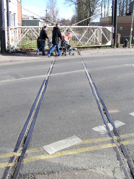
Image: © Ralph Mills Taken: 4 Mar 2006
Disused level crossing across a busy town centre street, once carried coal from Snibston Colliery, now a "Discovery Park"
Images are licensed for reuse under creativecommons.org/licenses/by-sa/2.0
Image Location
Latitude
52.722894
Longitude
-1.37367