Thirlstane Road, Malvern
Introduction
The photograph on this page of Thirlstane Road, Malvern by Bob Embleton as part of the Geograph project.
The Geograph project started in 2005 with the aim of publishing, organising and preserving representative images for every square kilometre of Great Britain, Ireland and the Isle of Man.

There are currently over 7.5m images from over 14,400 individuals and you can help contribute to the project by visiting https://www.geograph.org.uk
Thirlstane Road, Malvern
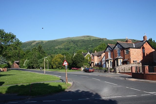
Image: © Bob Embleton Taken: 30 May 2009
From its junction with St. Andrews Road near The Fountain. The road passes beneath the Malvern to Ledbury railway line which is climbing its way to the tunnel through the Malvern Hills. Worcestershire Beacon, the highest peak of the granite ridge provides a wonderful backdrop.
Images are licensed for reuse under creativecommons.org/licenses/by-sa/2.0
Image Location
Latitude
52.103438
Longitude
-2.320128