Westbury-on-Severn Parish Hall and Playing Field
Introduction
The photograph on this page of Westbury-on-Severn Parish Hall and Playing Field by Bob Embleton as part of the Geograph project.
The Geograph project started in 2005 with the aim of publishing, organising and preserving representative images for every square kilometre of Great Britain, Ireland and the Isle of Man.

There are currently over 7.5m images from over 14,400 individuals and you can help contribute to the project by visiting https://www.geograph.org.uk
Westbury-on-Severn Parish Hall and Playing Field
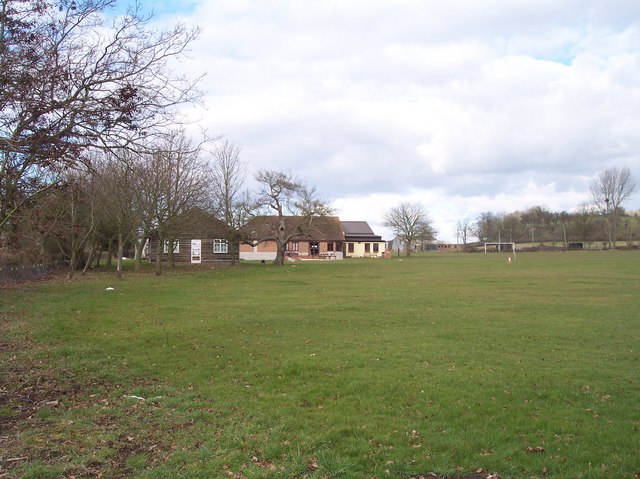
Image: © Bob Embleton Taken: 5 Mar 2006
Looking north across the playing fields whilst looking for the remains of the ancient cross??
Images are licensed for reuse under creativecommons.org/licenses/by-sa/2.0
Image Location
Latitude
51.821226
Longitude
-2.404737