Pinfold Street, Howden
Introduction
The photograph on this page of Pinfold Street, Howden by Gordon Hatton as part of the Geograph project.
The Geograph project started in 2005 with the aim of publishing, organising and preserving representative images for every square kilometre of Great Britain, Ireland and the Isle of Man.

There are currently over 7.5m images from over 14,400 individuals and you can help contribute to the project by visiting https://www.geograph.org.uk
Pinfold Street, Howden
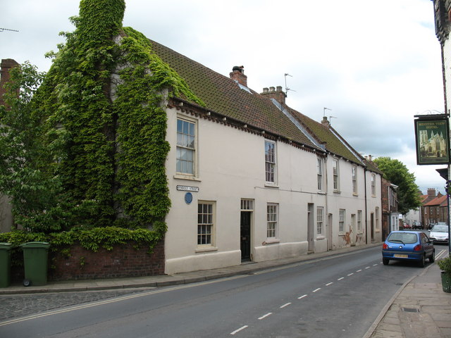
Image: © Gordon Hatton Taken: 28 May 2009
Looking along Pinfold Street from Cornmarket. The first building on the opposite side was formerly the Spotted Cow public house, once popular with farmers attending the adjacent market, it later became a lodging house for farm workers and is now a private house.
Images are licensed for reuse under creativecommons.org/licenses/by-sa/2.0
Image Location


Leaflet Map data © OpenStreetMap
Latitude
53.745281
Longitude
-0.868495