The bridge over Eastwell Lake
Introduction
The photograph on this page of The bridge over Eastwell Lake by David Anstiss as part of the Geograph project.
The Geograph project started in 2005 with the aim of publishing, organising and preserving representative images for every square kilometre of Great Britain, Ireland and the Isle of Man.

There are currently over 7.5m images from over 14,400 individuals and you can help contribute to the project by visiting https://www.geograph.org.uk
The bridge over Eastwell Lake
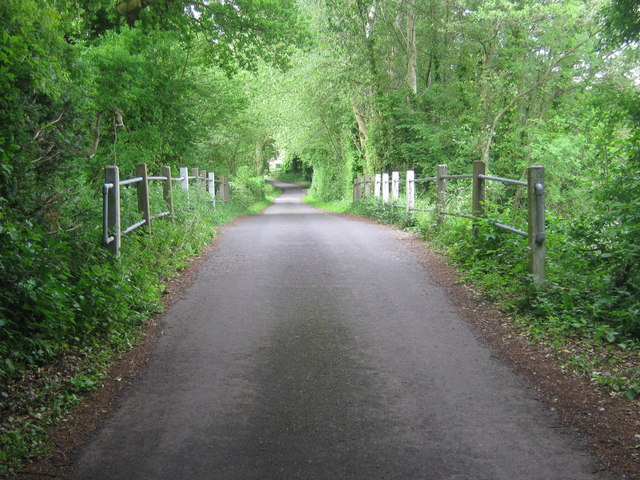
Image: © David Anstiss Taken: 28 May 2009
This lane leads to Eastwell Park and St Marys Church. The lake is mainly on the right but a small section of it is on the left in Aviary Wood.
Images are licensed for reuse under creativecommons.org/licenses/by-sa/2.0
Image Location
Latitude
51.188885
Longitude
0.873543