
New dual carriageway, Ballymena (1)
Introduction
The photograph on this page of New dual carriageway, Ballymena (1) by Albert Bridge as part of the Geograph project.
The Geograph project started in 2005 with the aim of publishing, organising and preserving representative images for every square kilometre of Great Britain, Ireland and the Isle of Man.

There are currently over 7.5m images from over 14,400 individuals and you can help contribute to the project by visiting https://www.geograph.org.uk
New dual carriageway, Ballymena (1)
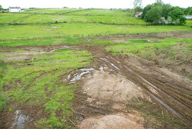
Image: © Albert Bridge Taken: 27 May 2009
See Image According to an official announcement “Construction of the scheme will start in early June 2009 and take about 10 months to complete. Traffic disruption will be negligible during most of the contract as the bulk of the works are being carried out offline through a greenfield site. Some traffic disruption can be expected in the latter stages of the contract when the new road is being connected to the Ballee Road East and to the M2 Ballymena Bypass.” The long-awaited road will join the Ballee Road East Image to the M2 Ballymena bypass Image by means of a grade-separated junction at the existing Larne Road roundabout. This is a series of photographs showing the site before the work starts (apologies for the light but the weather is outside my control!). This one is the view towards Antrim and Belfast from the southern side of the existing flyover. (The Google map – often ahead of reality - shows the road as already built.) Continue to Image The completed road looking towards Antrim and Belfast. For comparison “then and now” see Image
Images are licensed for reuse under creativecommons.org/licenses/by-sa/2.0
Image Location

Latitude
54.848662
Longitude
-6.252135