CTRL leading to Ashford
Introduction
The photograph on this page of CTRL leading to Ashford by David Anstiss as part of the Geograph project.
The Geograph project started in 2005 with the aim of publishing, organising and preserving representative images for every square kilometre of Great Britain, Ireland and the Isle of Man.

There are currently over 7.5m images from over 14,400 individuals and you can help contribute to the project by visiting https://www.geograph.org.uk
CTRL leading to Ashford
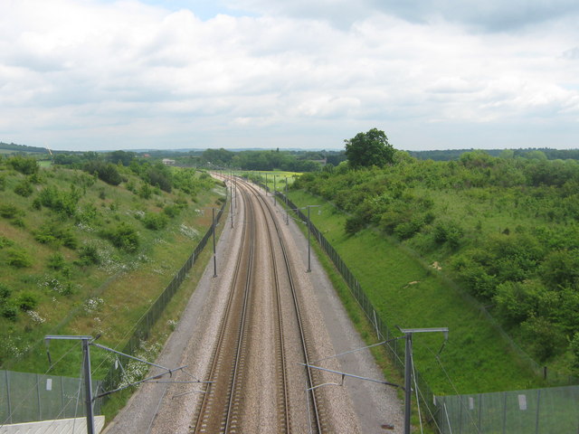
Image: © David Anstiss Taken: 28 May 2009
The Channel Tunnel Rail Link high speed line leads under Pluckley Road to Ashford and Folkestone, from Ebbsfleet and London.
Images are licensed for reuse under creativecommons.org/licenses/by-sa/2.0
Image Location


Leaflet Map data © OpenStreetMap
Latitude
51.194559
Longitude
0.784002