Weston Hall and The Penyard
Introduction
The photograph on this page of Weston Hall and The Penyard by Jonathan Billinger as part of the Geograph project.
The Geograph project started in 2005 with the aim of publishing, organising and preserving representative images for every square kilometre of Great Britain, Ireland and the Isle of Man.

There are currently over 7.5m images from over 14,400 individuals and you can help contribute to the project by visiting https://www.geograph.org.uk
Weston Hall and The Penyard
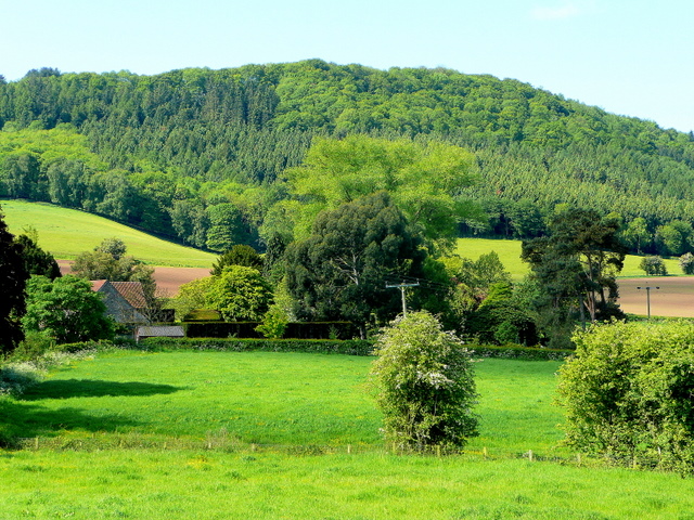
Image: © Jonathan Billinger Taken: 24 May 2009
Looking at the rear of the buildings from the footpath off Springett's Lane. Trees are now in full leaf in late May 2009.
Images are licensed for reuse under creativecommons.org/licenses/by-sa/2.0
Image Location


Leaflet Map data © OpenStreetMap
Latitude
51.910751
Longitude
-2.544519