Footpath crosses Hook Lane
Introduction
The photograph on this page of Footpath crosses Hook Lane by David Anstiss as part of the Geograph project.
The Geograph project started in 2005 with the aim of publishing, organising and preserving representative images for every square kilometre of Great Britain, Ireland and the Isle of Man.

There are currently over 7.5m images from over 14,400 individuals and you can help contribute to the project by visiting https://www.geograph.org.uk
Footpath crosses Hook Lane
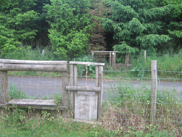
Image: © David Anstiss Taken: 28 May 2009
Two stiles and two dog gates are on this footpath from Tile Lodge Road, past working quarry, the path leads past a disused quarry (hidden in conifers) to Hitherfield in Charing.
Images are licensed for reuse under creativecommons.org/licenses/by-sa/2.0
Image Location
Latitude
51.208923
Longitude
0.777566