Sandbanks, sea wall
Introduction
The photograph on this page of Sandbanks, sea wall by Mike Faherty as part of the Geograph project.
The Geograph project started in 2005 with the aim of publishing, organising and preserving representative images for every square kilometre of Great Britain, Ireland and the Isle of Man.

There are currently over 7.5m images from over 14,400 individuals and you can help contribute to the project by visiting https://www.geograph.org.uk
Sandbanks, sea wall
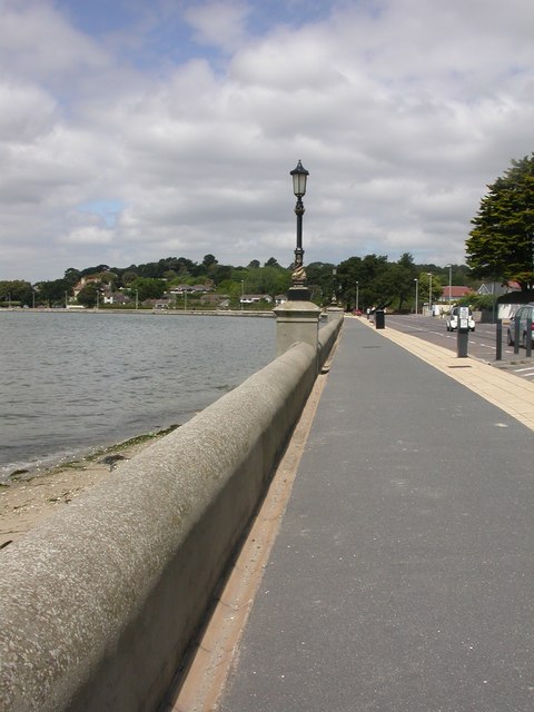
Image: © Mike Faherty Taken: 28 May 2009
On Shore Road, with an example of Image For information about the possibility of a storm surge, or the effects of global warming, see http://www.soton.ac.uk/~imw/Sandbanks.htm
Images are licensed for reuse under creativecommons.org/licenses/by-sa/2.0
Image Location


Leaflet Map data © OpenStreetMap
Latitude
50.698915
Longitude
-1.933824