Bay of Nigg South Side in 2009
Introduction
The photograph on this page of Bay of Nigg South Side in 2009 by Peter Robinson as part of the Geograph project.
The Geograph project started in 2005 with the aim of publishing, organising and preserving representative images for every square kilometre of Great Britain, Ireland and the Isle of Man.

There are currently over 7.5m images from over 14,400 individuals and you can help contribute to the project by visiting https://www.geograph.org.uk
Bay of Nigg South Side in 2009
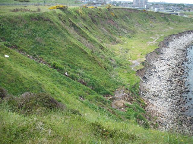
Image: © Peter Robinson Taken: 28 May 2009
Note the marine erosion of the man made platform put there in the 1960s to protect the cliffs. Note the fenced-off area where a stream has increased in discharge and is making the ground boggy.
Images are licensed for reuse under creativecommons.org/licenses/by-sa/2.0
Image Location
Latitude
57.130954
Longitude
-2.05813