Victoria Street, Cinderford
Introduction
The photograph on this page of Victoria Street, Cinderford by Bob Embleton as part of the Geograph project.
The Geograph project started in 2005 with the aim of publishing, organising and preserving representative images for every square kilometre of Great Britain, Ireland and the Isle of Man.

There are currently over 7.5m images from over 14,400 individuals and you can help contribute to the project by visiting https://www.geograph.org.uk
Victoria Street, Cinderford
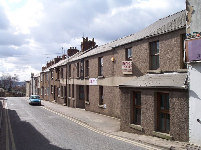
Image: © Bob Embleton Taken: 5 Mar 2006
Looking SSW along the road that for 1100 yards "was made at the expense of the crown for the benefit of the inhabitants and district" in 1897-8, Queen victoria's Diamond Jubilee.
Images are licensed for reuse under creativecommons.org/licenses/by-sa/2.0
Image Location


Leaflet Map data © OpenStreetMap
Latitude
51.822649
Longitude
-2.50196