Track to Trevidgeowe Farm
Introduction
The photograph on this page of Track to Trevidgeowe Farm by Jonathan Billinger as part of the Geograph project.
The Geograph project started in 2005 with the aim of publishing, organising and preserving representative images for every square kilometre of Great Britain, Ireland and the Isle of Man.

There are currently over 7.5m images from over 14,400 individuals and you can help contribute to the project by visiting https://www.geograph.org.uk
Track to Trevidgeowe Farm
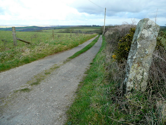
Image: © Jonathan Billinger Taken: 5 Mar 2008
The farm track seems to be recent as it is not on current mapping. The menhir (standing stone) to the right is possibly a boundary marker.
Images are licensed for reuse under creativecommons.org/licenses/by-sa/2.0
Image Location
Latitude
50.448169
Longitude
-4.825063