2009 : Church Road, Dundry
Introduction
The photograph on this page of 2009 : Church Road, Dundry by Maurice Pullin as part of the Geograph project.
The Geograph project started in 2005 with the aim of publishing, organising and preserving representative images for every square kilometre of Great Britain, Ireland and the Isle of Man.

There are currently over 7.5m images from over 14,400 individuals and you can help contribute to the project by visiting https://www.geograph.org.uk
2009 : Church Road, Dundry
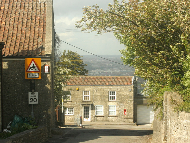
Image: © Maurice Pullin Taken: 26 May 2009
Looking north to the end (or the beginning) of Church Road. Bristol is lurking in the background under a convenient cloud.
Images are licensed for reuse under creativecommons.org/licenses/by-sa/2.0
Image Location
Latitude
51.399666
Longitude
-2.637468