Deethe Farm Industrial Estate
Introduction
The photograph on this page of Deethe Farm Industrial Estate by Martin Addison as part of the Geograph project.
The Geograph project started in 2005 with the aim of publishing, organising and preserving representative images for every square kilometre of Great Britain, Ireland and the Isle of Man.

There are currently over 7.5m images from over 14,400 individuals and you can help contribute to the project by visiting https://www.geograph.org.uk
Deethe Farm Industrial Estate
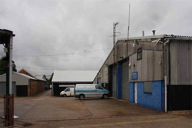
Image: © Martin Addison Taken: 27 May 2009
Located on Cranfield Road, Woburn Sands. Home to a number of small business including, closest on the right, Moonraker Antennas.
Images are licensed for reuse under creativecommons.org/licenses/by-sa/2.0
Image Location
Latitude
52.022306
Longitude
-0.65272