Footpath, Blackawton
Introduction
The photograph on this page of Footpath, Blackawton by Derek Harper as part of the Geograph project.
The Geograph project started in 2005 with the aim of publishing, organising and preserving representative images for every square kilometre of Great Britain, Ireland and the Isle of Man.

There are currently over 7.5m images from over 14,400 individuals and you can help contribute to the project by visiting https://www.geograph.org.uk
Footpath, Blackawton
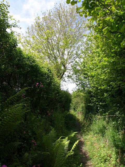
Image: © Derek Harper Taken: 23 May 2009
An unnamed little path on the eastern edge of the village linking Chapel Street and Trench Firs Corner.
Images are licensed for reuse under creativecommons.org/licenses/by-sa/2.0
Image Location


Leaflet Map data © OpenStreetMap
Latitude
50.347089
Longitude
-3.676545