Fields near Silverdale
Introduction
The photograph on this page of Fields near Silverdale by Alan Murray-Rust as part of the Geograph project.
The Geograph project started in 2005 with the aim of publishing, organising and preserving representative images for every square kilometre of Great Britain, Ireland and the Isle of Man.

There are currently over 7.5m images from over 14,400 individuals and you can help contribute to the project by visiting https://www.geograph.org.uk
Fields near Silverdale
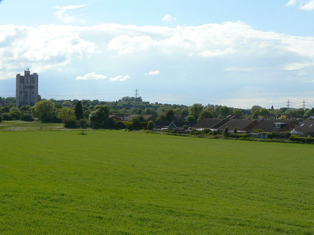
Image: © Alan Murray-Rust Taken: 21 May 2009
The proposed route of the Nottingham tram to Clifton will run close to the edge of the housing on the right.
Images are licensed for reuse under creativecommons.org/licenses/by-sa/2.0
Image Location
Latitude
52.911276
Longitude
-1.162774