Chester Avenue, Whitehead
Introduction
The photograph on this page of Chester Avenue, Whitehead by Albert Bridge as part of the Geograph project.
The Geograph project started in 2005 with the aim of publishing, organising and preserving representative images for every square kilometre of Great Britain, Ireland and the Isle of Man.

There are currently over 7.5m images from over 14,400 individuals and you can help contribute to the project by visiting https://www.geograph.org.uk
Chester Avenue, Whitehead
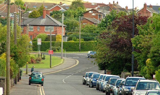
Image: © Albert Bridge Taken: 26 May 2009
Chester Avenue runs from the station Image towards the Slaughterford Bridge Image and the Belfast – Larne road. The name comes from Castle Chester – a tower house built in 1604 – out of picture to the right.
Images are licensed for reuse under creativecommons.org/licenses/by-sa/2.0
Image Location
Latitude
54.754426
Longitude
-5.70799