Footpath off Stanthorne Close
Introduction
The photograph on this page of Footpath off Stanthorne Close by Alan Murray-Rust as part of the Geograph project.
The Geograph project started in 2005 with the aim of publishing, organising and preserving representative images for every square kilometre of Great Britain, Ireland and the Isle of Man.

There are currently over 7.5m images from over 14,400 individuals and you can help contribute to the project by visiting https://www.geograph.org.uk
Footpath off Stanthorne Close
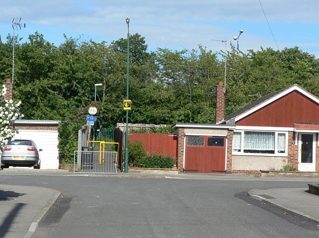
Image: © Alan Murray-Rust Taken: 21 May 2009
Silverdale Estate is relatively isolated as far as vehicular traffic is concerned due to the presence of the Ring Road to the east. There are however a number of pedestrian links by subway through to Ruddington Lane, of which this is one. The lowest of the three notices requires people not to ride horses in the subway.
Images are licensed for reuse under creativecommons.org/licenses/by-sa/2.0
Image Location
Latitude
52.915043
Longitude
-1.161511