Stream near Pentre-coch
Introduction
The photograph on this page of Stream near Pentre-coch by Eirian Evans as part of the Geograph project.
The Geograph project started in 2005 with the aim of publishing, organising and preserving representative images for every square kilometre of Great Britain, Ireland and the Isle of Man.

There are currently over 7.5m images from over 14,400 individuals and you can help contribute to the project by visiting https://www.geograph.org.uk
Stream near Pentre-coch
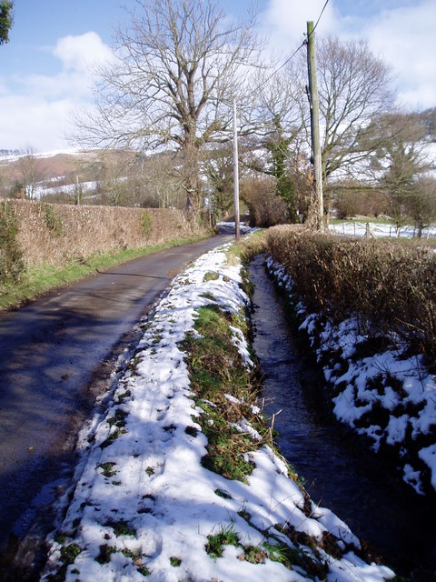
Image: © Eirian Evans Taken: 5 Mar 2006
The stream, which eventually joins the River Clwyd, runs alongside the road for about 200 metres
Images are licensed for reuse under creativecommons.org/licenses/by-sa/2.0
Image Location


Leaflet Map data © OpenStreetMap
Latitude
53.092583
Longitude
-3.273718