Bovingdon: Holly Hedges Lane
Introduction
The photograph on this page of Bovingdon: Holly Hedges Lane by Nigel Cox as part of the Geograph project.
The Geograph project started in 2005 with the aim of publishing, organising and preserving representative images for every square kilometre of Great Britain, Ireland and the Isle of Man.

There are currently over 7.5m images from over 14,400 individuals and you can help contribute to the project by visiting https://www.geograph.org.uk
Bovingdon: Holly Hedges Lane
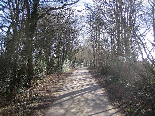
Image: © Nigel Cox Taken: 5 Mar 2006
Aptly named and looking south eastwards towards Belsize.
Images are licensed for reuse under creativecommons.org/licenses/by-sa/2.0
Image Location
Latitude
51.708375
Longitude
-0.525193