Shropshire farmland near Goldstone
Introduction
The photograph on this page of Shropshire farmland near Goldstone by Roger D Kidd as part of the Geograph project.
The Geograph project started in 2005 with the aim of publishing, organising and preserving representative images for every square kilometre of Great Britain, Ireland and the Isle of Man.

There are currently over 7.5m images from over 14,400 individuals and you can help contribute to the project by visiting https://www.geograph.org.uk
Shropshire farmland near Goldstone
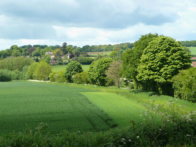
Image: © Roger D Kidd Taken: 21 May 2009
The view is from the embankment carrying the Shropshire Union Canal. Goldstone village can be seen on the left.
Images are licensed for reuse under creativecommons.org/licenses/by-sa/2.0
Image Location
Latitude
52.85251
Longitude
-2.426298