Village street, Clyst Honiton
Introduction
The photograph on this page of Village street, Clyst Honiton by Robin Drayton as part of the Geograph project.
The Geograph project started in 2005 with the aim of publishing, organising and preserving representative images for every square kilometre of Great Britain, Ireland and the Isle of Man.

There are currently over 7.5m images from over 14,400 individuals and you can help contribute to the project by visiting https://www.geograph.org.uk
Village street, Clyst Honiton
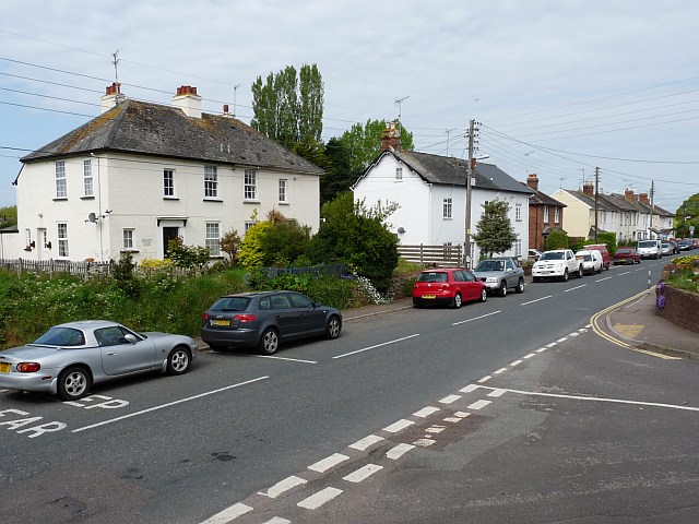
Image: © Robin Drayton Taken: 10 May 2009
A nearby information board states that Clyst Honiton (or Honiton's Clyst) is on what is now designated The Trafalgar Way. This is the route that dispatches from ships arriving at Falmouth were taken to London. Fresh horses and hospitality were available at the inn. Modern road changes mean that Clyst Honiton is now no longer on a main route.
Images are licensed for reuse under creativecommons.org/licenses/by-sa/2.0
Image Location
Latitude
50.732722
Longitude
-3.435208