The Shropshire Union Canal near Wolverhampton
Introduction
The photograph on this page of The Shropshire Union Canal near Wolverhampton by Roger D Kidd as part of the Geograph project.
The Geograph project started in 2005 with the aim of publishing, organising and preserving representative images for every square kilometre of Great Britain, Ireland and the Isle of Man.

There are currently over 7.5m images from over 14,400 individuals and you can help contribute to the project by visiting https://www.geograph.org.uk
The Shropshire Union Canal near Wolverhampton
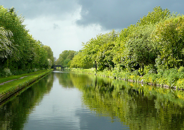
Image: © Roger D Kidd Taken: 19 May 2009
Stormy clouds were forming here where the canal cuts through Pendeford and approaches Barnhurst Bridge, No 2. Note: Nicholson's Canal Guides, and other canal sources refer to this as Bathurst Bridge. As Barnhurst relates to an ancient local family and nearby part of Pendeford, that seems the more likely name for the bridge.
Images are licensed for reuse under creativecommons.org/licenses/by-sa/2.0
Image Location
Latitude
52.619449
Longitude
-2.152392