Sheep grazing in field at Upper Penrhuddlan
Introduction
The photograph on this page of Sheep grazing in field at Upper Penrhuddlan by P L Chadwick as part of the Geograph project.
The Geograph project started in 2005 with the aim of publishing, organising and preserving representative images for every square kilometre of Great Britain, Ireland and the Isle of Man.

There are currently over 7.5m images from over 14,400 individuals and you can help contribute to the project by visiting https://www.geograph.org.uk
Sheep grazing in field at Upper Penrhuddlan
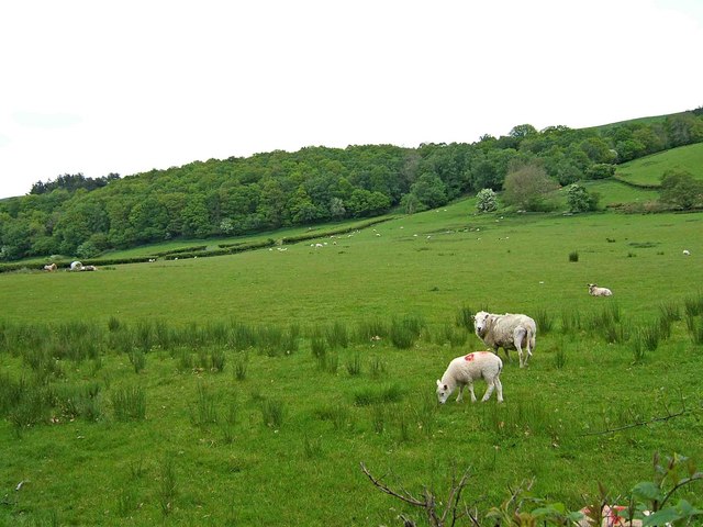
Image: © P L Chadwick Taken: 25 May 2009
This field adjacent to the A470 is used for grazing sheep.
Images are licensed for reuse under creativecommons.org/licenses/by-sa/2.0
Image Location
Latitude
52.456577
Longitude
-3.471332