A470 at Upper Penrhuddlan, looking southwest
Introduction
The photograph on this page of A470 at Upper Penrhuddlan, looking southwest by P L Chadwick as part of the Geograph project.
The Geograph project started in 2005 with the aim of publishing, organising and preserving representative images for every square kilometre of Great Britain, Ireland and the Isle of Man.

There are currently over 7.5m images from over 14,400 individuals and you can help contribute to the project by visiting https://www.geograph.org.uk
A470 at Upper Penrhuddlan, looking southwest
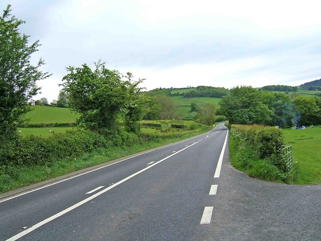
Image: © P L Chadwick Taken: 25 May 2009
The field on the right appears to be used for camping. The A470 in this direction goes to Llanidloes, and eventually to Rhaeadr Gwy (Rhayader).
Images are licensed for reuse under creativecommons.org/licenses/by-sa/2.0
Image Location
Latitude
52.456476
Longitude
-3.472211