View from Corrennie Quarry
Introduction
The photograph on this page of View from Corrennie Quarry by Peter Robinson as part of the Geograph project.
The Geograph project started in 2005 with the aim of publishing, organising and preserving representative images for every square kilometre of Great Britain, Ireland and the Isle of Man.

There are currently over 7.5m images from over 14,400 individuals and you can help contribute to the project by visiting https://www.geograph.org.uk
View from Corrennie Quarry
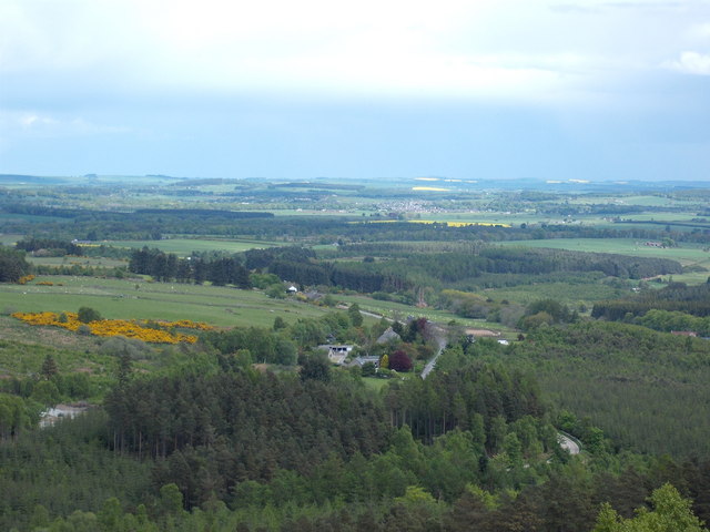
Image: © Peter Robinson Taken: 22 May 2009
This is the view ENE along the B993 from Corrennie Quarry 'canteen'. Kemnay is visible in the distance. Ice flowed through this route in the hills and down into the plain below in the last glaciation.
Images are licensed for reuse under creativecommons.org/licenses/by-sa/2.0
Image Location
Latitude
57.197214
Longitude
-2.591766