Highbridge?s new bridge, looking upstream
Introduction
The photograph on this page of Highbridge?s new bridge, looking upstream by Kerryn as part of the Geograph project.
The Geograph project started in 2005 with the aim of publishing, organising and preserving representative images for every square kilometre of Great Britain, Ireland and the Isle of Man.

There are currently over 7.5m images from over 14,400 individuals and you can help contribute to the project by visiting https://www.geograph.org.uk
Highbridge?s new bridge, looking upstream
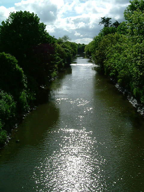
Image: © Kerryn Taken: 22 May 2009
When a new channel was cut for the River Brue in the early 1800s, as part of the River Brue Drainage Scheme, a new bridge was built some 150 metres south-west of the original ‘high bridge’ across the old river.
Images are licensed for reuse under creativecommons.org/licenses/by-sa/2.0
Image Location
Latitude
51.2183
Longitude
-2.976309