Sandy Row, Belfast
Introduction
The photograph on this page of Sandy Row, Belfast by Albert Bridge as part of the Geograph project.
The Geograph project started in 2005 with the aim of publishing, organising and preserving representative images for every square kilometre of Great Britain, Ireland and the Isle of Man.

There are currently over 7.5m images from over 14,400 individuals and you can help contribute to the project by visiting https://www.geograph.org.uk
Sandy Row, Belfast
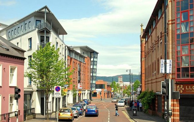
Image: © Albert Bridge Taken: 24 May 2009
The southern end of Sandy Row (from Bradbury Place to the Donegall Road) seen from King William Park Image
Images are licensed for reuse under creativecommons.org/licenses/by-sa/2.0
Image Location
Latitude
54.588975
Longitude
-5.935911