Bedfords Park Lake
Introduction
The photograph on this page of Bedfords Park Lake by Glyn Baker as part of the Geograph project.
The Geograph project started in 2005 with the aim of publishing, organising and preserving representative images for every square kilometre of Great Britain, Ireland and the Isle of Man.

There are currently over 7.5m images from over 14,400 individuals and you can help contribute to the project by visiting https://www.geograph.org.uk
Bedfords Park Lake
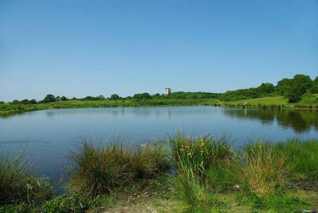
Image: © Glyn Baker Taken: 24 May 2009
The main lake in Bedfords Park it was dug by the Council in the 1950’s to provide a fishing pond. It used to be the rubbish dump for the “big house”. The tower block shows just how close the Park is to London’s fringe.
Images are licensed for reuse under creativecommons.org/licenses/by-sa/2.0
Image Location
Latitude
51.604487
Longitude
0.190884