Southern Edge of Mayfield
Introduction
The photograph on this page of Southern Edge of Mayfield by Simon Carey as part of the Geograph project.
The Geograph project started in 2005 with the aim of publishing, organising and preserving representative images for every square kilometre of Great Britain, Ireland and the Isle of Man.

There are currently over 7.5m images from over 14,400 individuals and you can help contribute to the project by visiting https://www.geograph.org.uk
Southern Edge of Mayfield
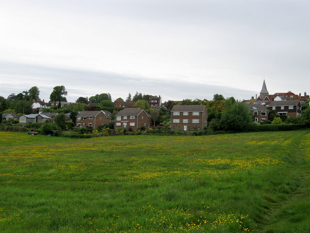
Image: © Simon Carey Taken: 23 May 2009
Taken from the footpath that links Vale Road with Newick Lane via Cranesden. The houses in Richmead look out over a buttercup filled meadow.
Images are licensed for reuse under creativecommons.org/licenses/by-sa/2.0
Image Location


Leaflet Map data © OpenStreetMap
Latitude
51.018706
Longitude
0.259828