Holders Lane
Introduction
The photograph on this page of Holders Lane by Simon Carey as part of the Geograph project.
The Geograph project started in 2005 with the aim of publishing, organising and preserving representative images for every square kilometre of Great Britain, Ireland and the Isle of Man.

There are currently over 7.5m images from over 14,400 individuals and you can help contribute to the project by visiting https://www.geograph.org.uk
Holders Lane
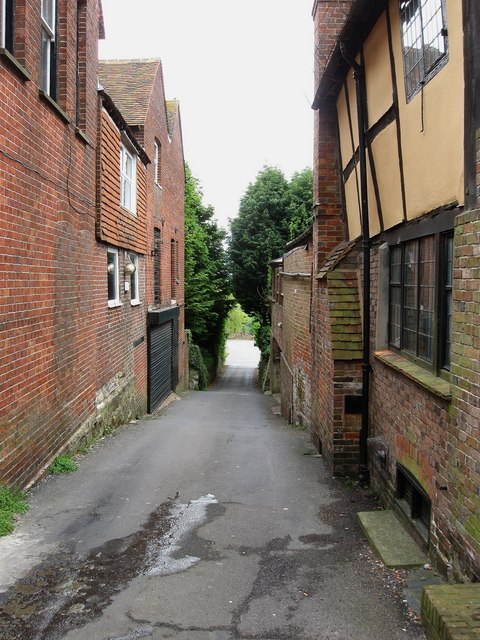
Image: © Simon Carey Taken: 23 May 2009
Narrow lane linking High Street with South Street. The light area at the bottom is the village car park whilst the building on the right is the 16th century Walnut Tree House.
Images are licensed for reuse under creativecommons.org/licenses/by-sa/2.0
Image Location
Latitude
51.019929
Longitude
0.261741