Verwood, railway trackbed
Introduction
The photograph on this page of Verwood, railway trackbed by Mike Faherty as part of the Geograph project.
The Geograph project started in 2005 with the aim of publishing, organising and preserving representative images for every square kilometre of Great Britain, Ireland and the Isle of Man.

There are currently over 7.5m images from over 14,400 individuals and you can help contribute to the project by visiting https://www.geograph.org.uk
Verwood, railway trackbed
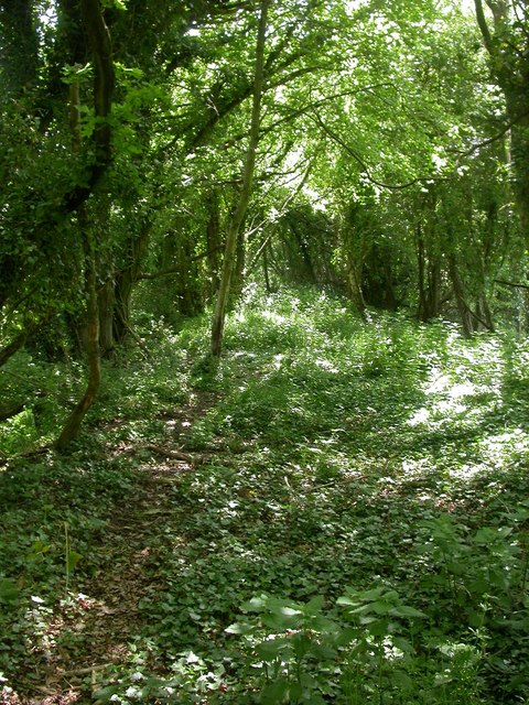
Image: © Mike Faherty Taken: 25 May 2009
Apart from steeply falling banks on each side, there is no indication that this used to be the Salisbury to Dorchester railway line, closed in 1964. Nature has taken over, particularly red currants, which obviously thrive in this dappled shade. http://history.verwood.org/verwood_station.htm
Images are licensed for reuse under creativecommons.org/licenses/by-sa/2.0
Image Location


Leaflet Map data © OpenStreetMap
Latitude
50.870375
Longitude
-1.89507