Wellbrook
Introduction
The photograph on this page of Wellbrook by Simon Carey as part of the Geograph project.
The Geograph project started in 2005 with the aim of publishing, organising and preserving representative images for every square kilometre of Great Britain, Ireland and the Isle of Man.

There are currently over 7.5m images from over 14,400 individuals and you can help contribute to the project by visiting https://www.geograph.org.uk
Wellbrook
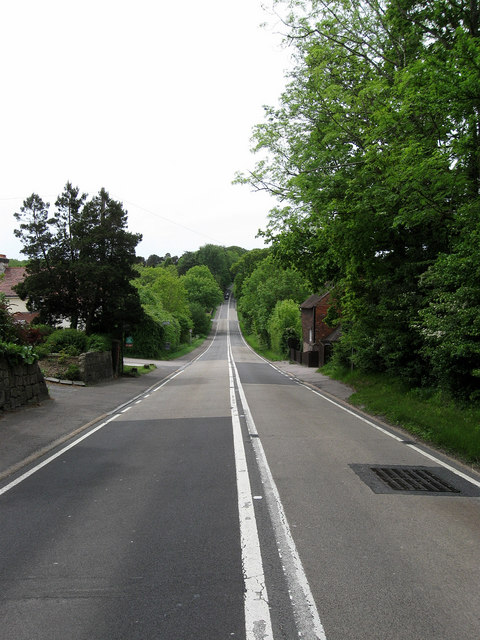
Image: © Simon Carey Taken: 23 May 2009
Name of both the road and the hamlet that lines the A267. The entrance to Roselands Avenue and Rothermead are on the left whilst Wellbrook Cottage is to the right. The dip in the road is caused by the land sloping down to cross the River Rother.
Images are licensed for reuse under creativecommons.org/licenses/by-sa/2.0
Image Location


Leaflet Map data © OpenStreetMap
Latitude
51.014151
Longitude
0.244209