Front Street Sunniside
Introduction
The photograph on this page of Front Street Sunniside by Ann Clare as part of the Geograph project.
The Geograph project started in 2005 with the aim of publishing, organising and preserving representative images for every square kilometre of Great Britain, Ireland and the Isle of Man.

There are currently over 7.5m images from over 14,400 individuals and you can help contribute to the project by visiting https://www.geograph.org.uk
Front Street Sunniside
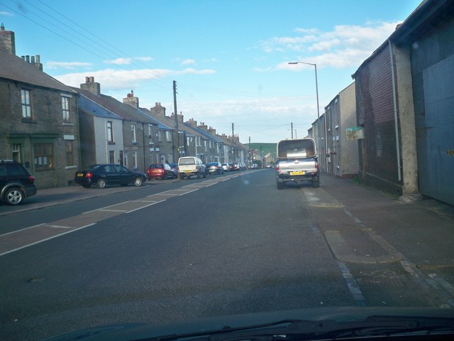
Image: © Ann Clare Taken: 23 May 2009
One of the Hilltop villages that used to be a mining village.
Images are licensed for reuse under creativecommons.org/licenses/by-sa/2.0
Image Location
Latitude
54.740733
Longitude
-1.782672